
Start with a question
What changes when we flatten the world?
A sailor needs a steady bearing. A reader comparing countries needs fair areas. Flattening Earth forces a choice: every projection preserves something and changes something else.
Learn to read the map
Follow the circles.
Imagine the same small circle drawn on Earth in different places. A projection can enlarge it, shrink it, or stretch it into an ellipse. These marks make the tradeoffs visible.
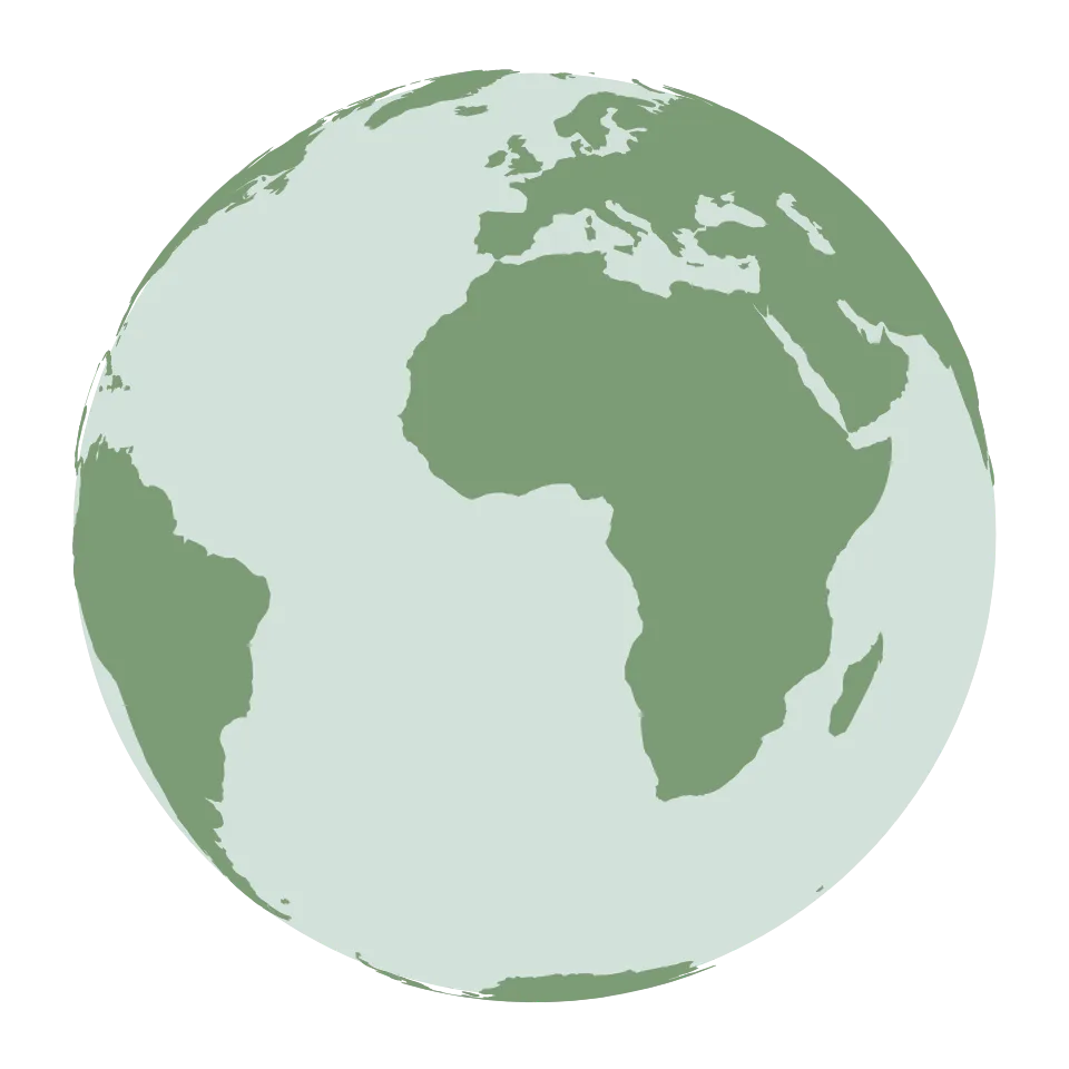
On the globe, circles near the rim look flatter because you see them at an angle. That is perspective, before any flat-map distortion. The drawn circles are a finite-size illustration of Tissot’s tiny-circle idea.
A map is an optimization problem.
Ask what you are optimizing for.
Start with Mercator, then compare what other mapmakers chose to preserve. No Python setup needed.